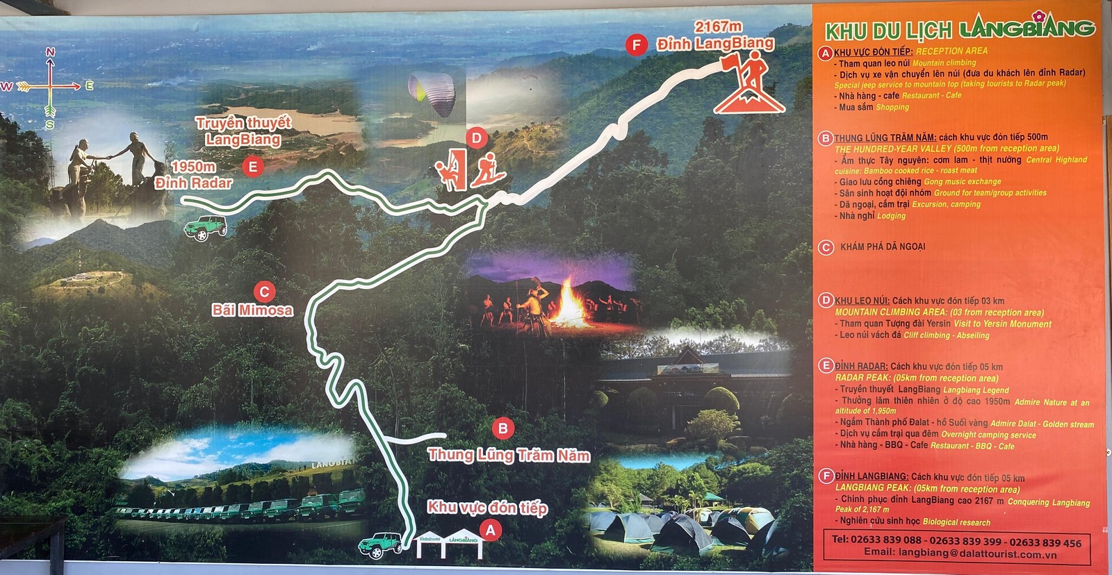
After creating the list for hiking destinations and having been on a few hikes with friends earlier in 2026 the chance to have 6 days off early April 2026 was promising. The memorial reduced it to 4 days, return visits to 3 days, organizing requirements to 2 days. Well, at least I went to Dalat! Starting Sunday at noon it’s about 3 hours on basically sea level. Then you see the mountains, but drive inside a valley at about 100 meter height for about another hour until you pass Madagui. Shortly thereafter a curved street leads you up to 800 meters plateau.
 It is only the last 50 kilometers and hour of the 8 hour drive that you hike up to the 1400 meter of Dalat. And the base of Lang Biang is actually behind Dalat, surrounded by countless green houses at 1500 meter height. After sunset the gate is not monitored, so you could continue driving all the way up to the radar post at 1950 meter height. Many Korean tourists will take a car up there the next morning, April 7th.
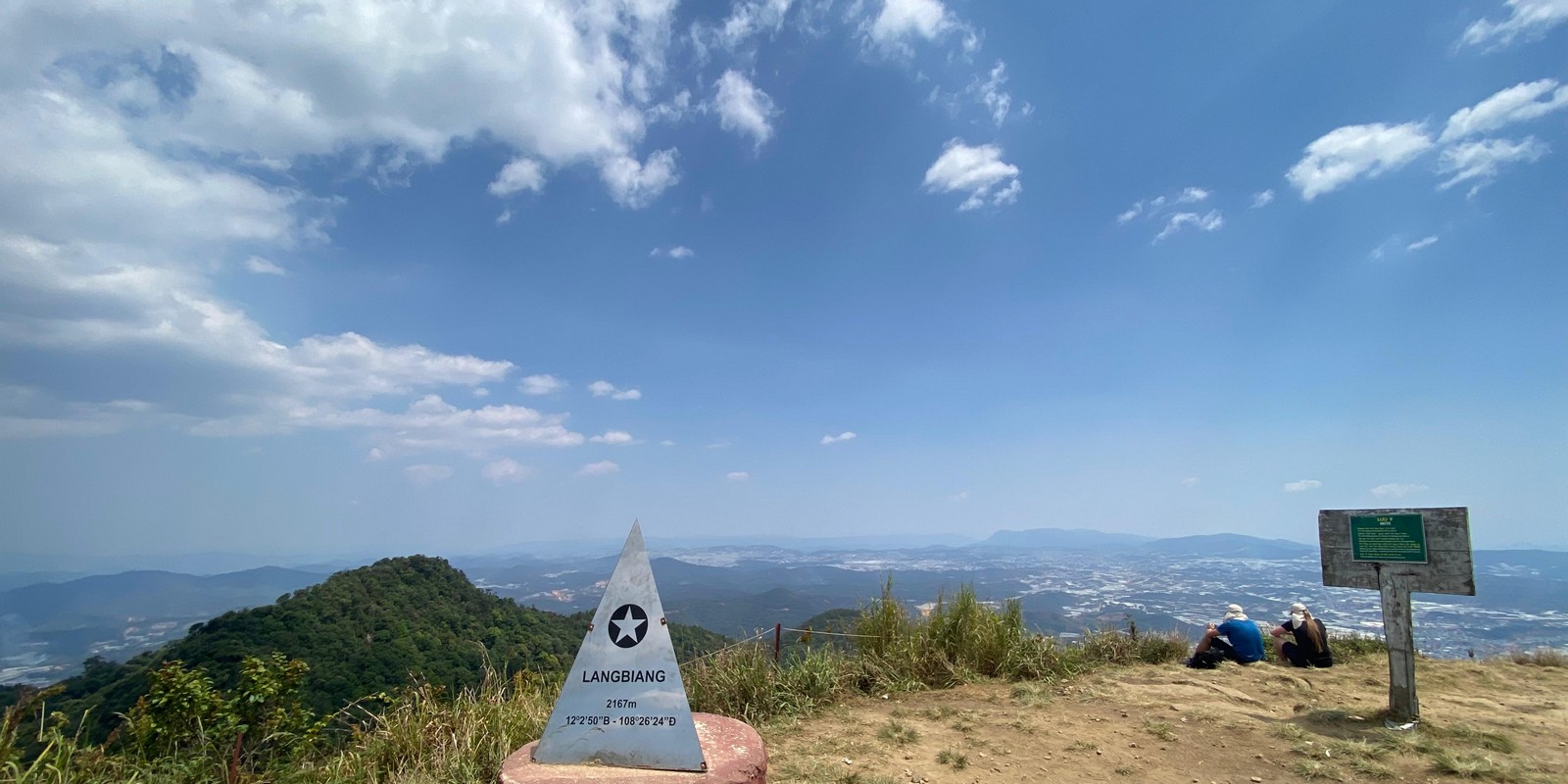
 But it actually takes only 55 minutes to the radar peak. And about another hour to hike to the actual peak of Lang Biang at 2167 meter height.
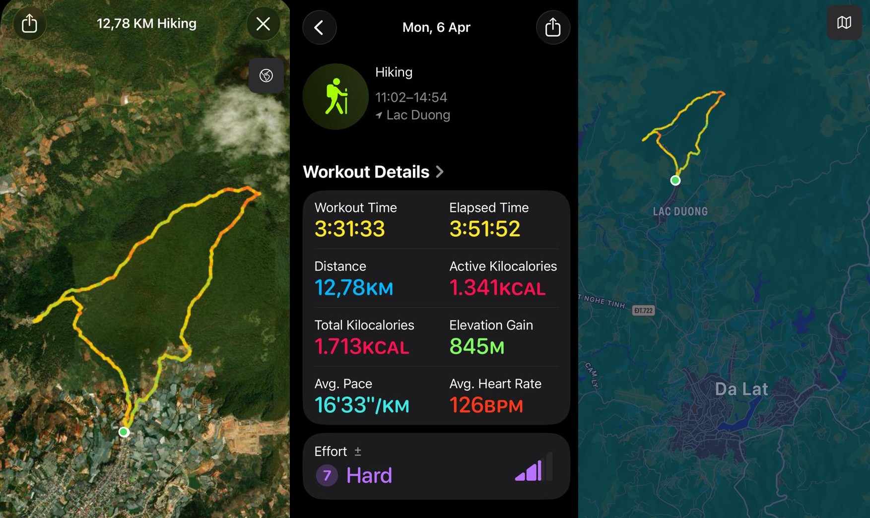
It’s rather steep for the last part. And the way back has a lot of loose sand going down, I actually walked backwards. Yet then it was only 1.5 hours to the starting point through the forest.
And I was not hiking alone, I had 4 companions and their Strava App with me:
- Matthias Kreier, Taipei City, Taiwan, 11.68km, 20 pictures, iPhone, since 2017 (spring race)
- Matthias Kreier, Hồ Chí Minh, Vietnam, Note 20, since July 2025
- Frederick Aiken, Nha Trang, Khánh Hòa, Vietnam, Note 8, since September 2025
- Matthias Kreier, Xuân Hương - Đà Lạt, Lâm Đồng, Vietnam, 11.7 km, S24, since April 2026
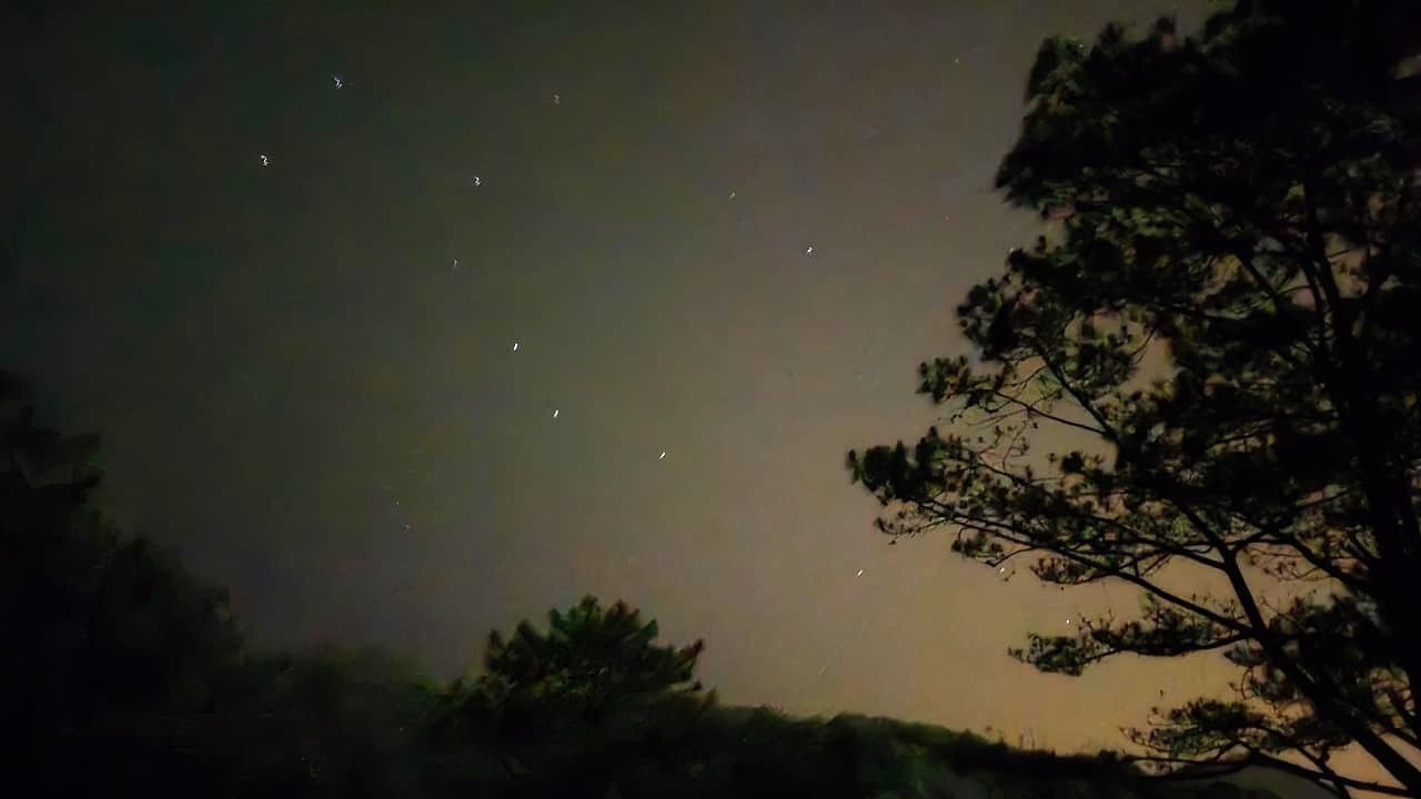
The night before it was great to see the Ursa Major or specifically the Big Dipper in the sky. It’s been some tome.